Plants, sweat, bikes, blah, blah, blah
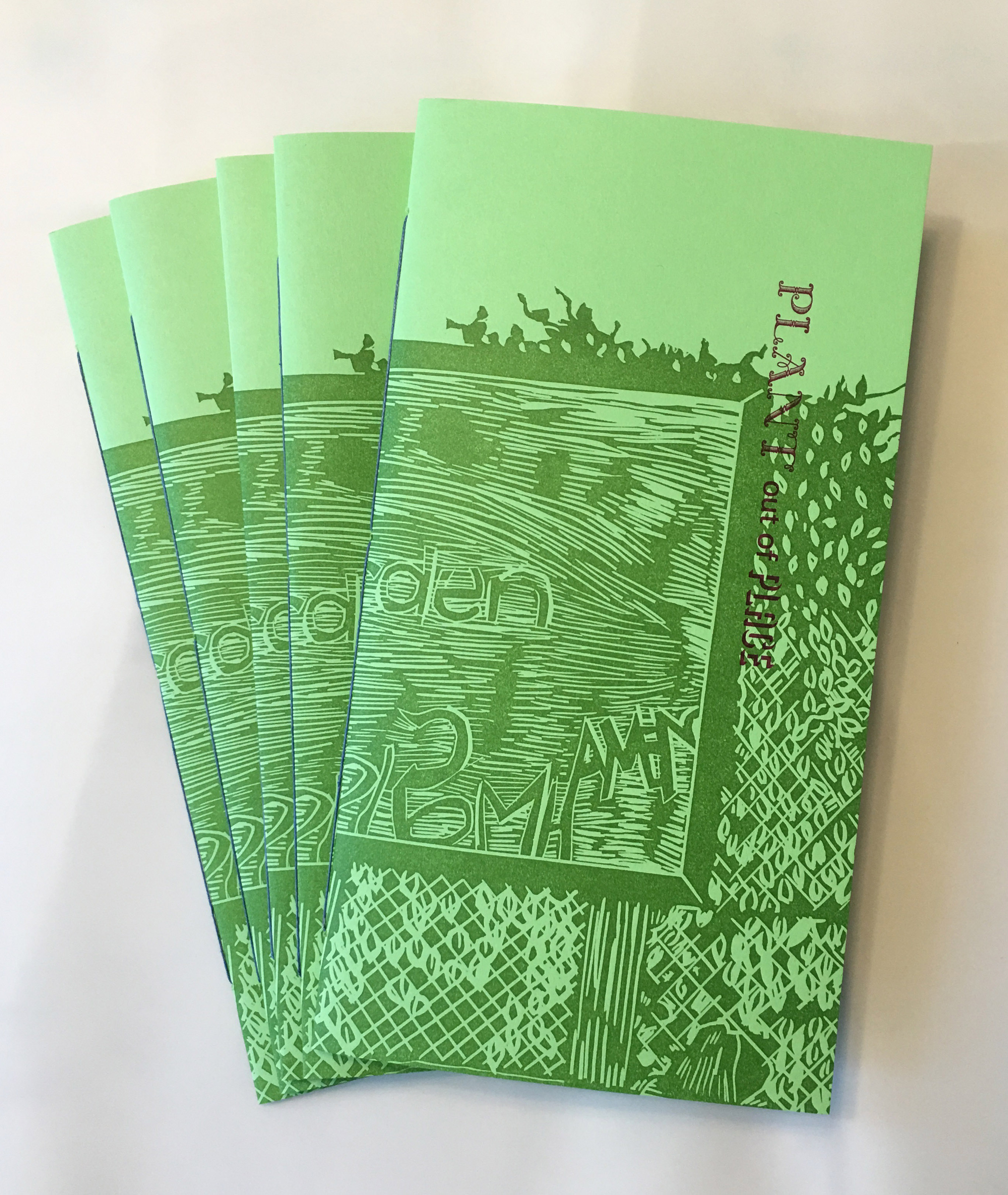
- I made another pamphlet. It’s about weeds and people and how both travel around the world together. That’s going to be the basic idea for all the pamphlets this year, in different ways. This first one is about Red Hook.
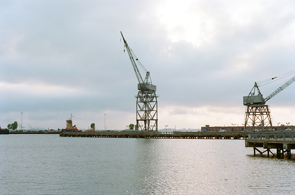
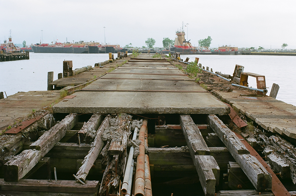
2. I took some people on a walk in the place the pamphlet was about. We had a perfect day and spotted tons of different species of weeds, and everyone listened patiently as I told them all about landfill and housing and nineteenth century industry. Thank you for coming along!
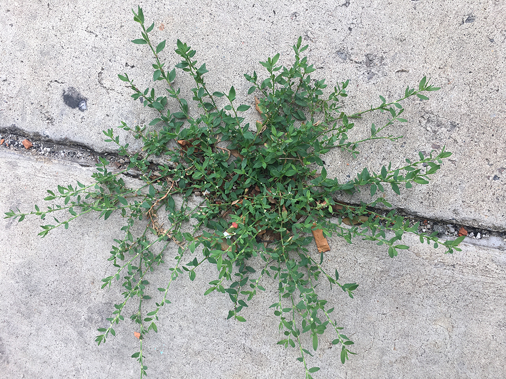
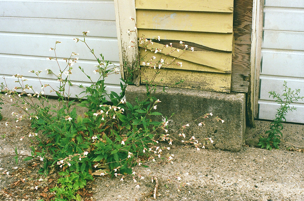
3. I am learning how to identify the plants that grow between the sidewalk cracks. Right now the weeds here in NYC are BONKERS. My favorite local news source has done multiple stories about spontaneous outcroppings of poison ivy near public thoroughfares. My personal favorite batch of weeds right now is by the Greenway in Red Hook; it’s mostly taken over one of the lanes and gives shelter from the July sun to the assorted cats, pigeons, and people that live there.
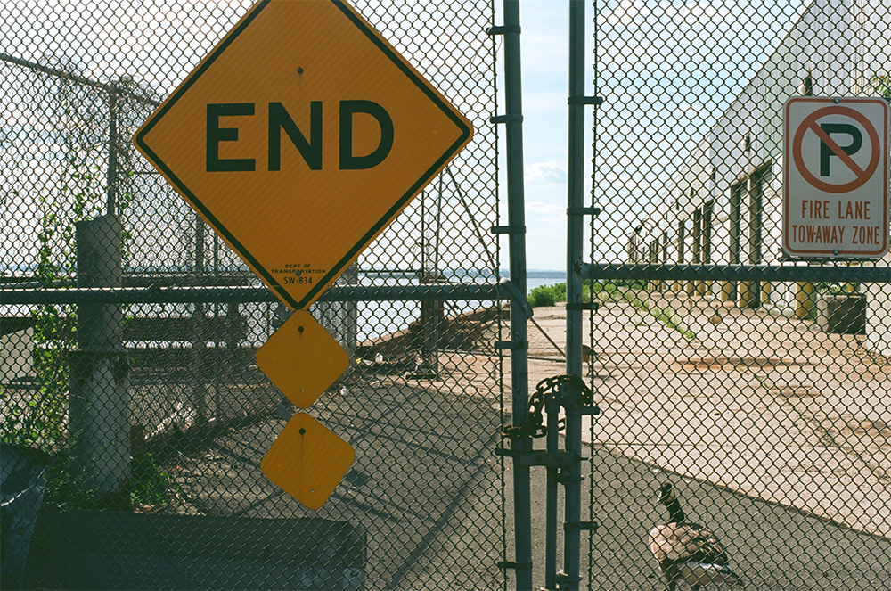
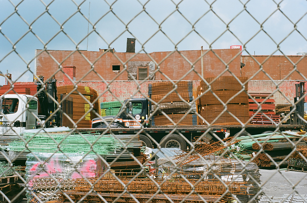
4. My plan to spend the summer biking and taking pictures is going swimmingly.
5. I was a resident on Governor’s Island for a month in June in one of the houses in Nolan Park, hosted by the artist collaborative Works on Water and the publishing platform Underwater NY, two organizations that both focus on art based on and with and around water (thanks guys it was great!) Governor’s Island is one of my favorite places to be and see and it was a fabulous time. I worked on maps of the past, present, and possible future Brooklyn coastline. I will maybe make a separate post about them? I think I will continue on in this vein for while, as it stirred up some ideas.
The starting point was to think about a map made in the nineteenth century by Thoreau of the Concord River, and use the map form as a way of mapping historical sites, personal landmarks, and the physical landscape all at once. It grew a bit from there.

My laptop is making my lap sweat so I think I will end this here. Stay cool in whatever way suits you.
