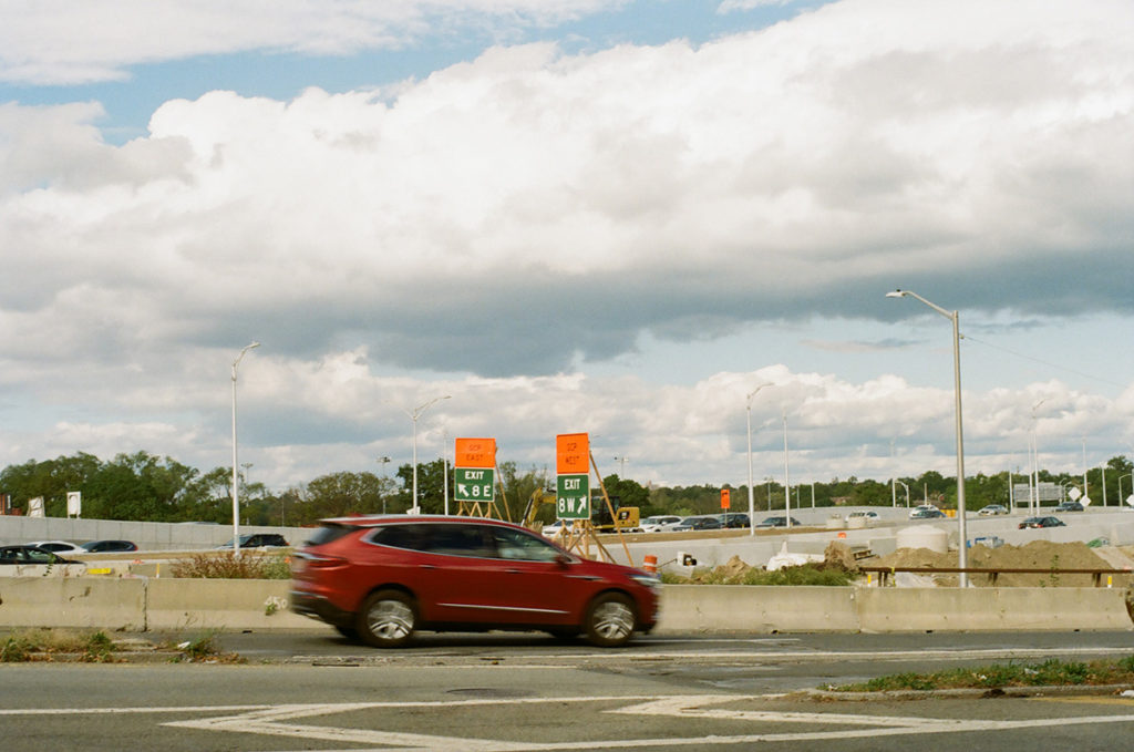
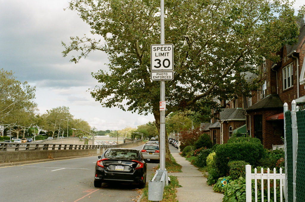
In front of Queens Borough Hall, all of the highways that ever existed meet in a tangled mass of highway spaghetti. There’s a bench to the eastern side of this mess that you can sit on to watch the traffic go by. This is the beginning of the final leg of our walk. From here on out we get more and more suburban; the streets are lined with single family homes, a lot of them in brick. Queens is a borough of houses, a prime example of what suburbs within city limits can look like. The subway ends about halfway through the borough, not far from here, and past that point you either take the bus or drive a car.
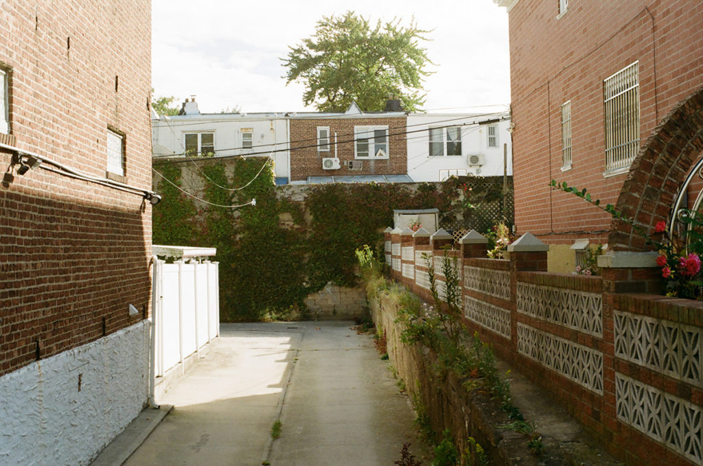
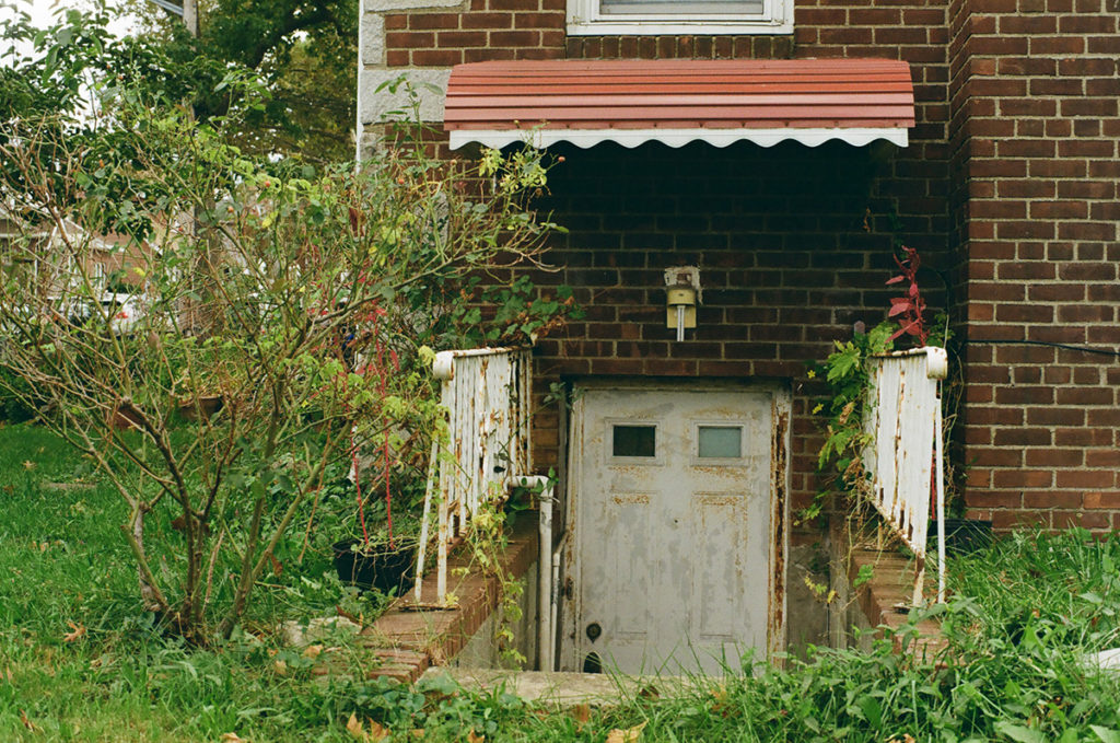
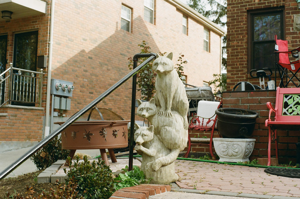
I really love the brick houses, and the occasional alleys, and the different kinds of front yards.
Architect/artist Rafael Herrin-Ferri has an ongoing photography project documenting the wide diversity of homes in Queens; I love this project and the book that was published last year. You can find that here.
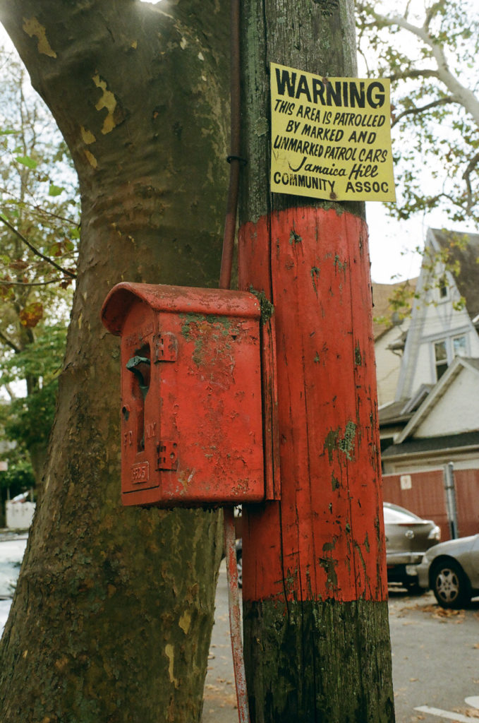
Sign spotted above in Jamaica Hills, the northern hilly section of the old colonial town of Jamaica. The Jamaica Hills Community Association, the internet has told me, was started in 1974, an era in which this part of Queens was almost entirely white, and many of its residents had moved out here from neighborhoods that were progressively becoming less white. The passage of the Fair Housing Act in 1968 meant that developers could no longer explicitly ban black and brown people from new housing. The emphasis on patrol cars here reminds me of the way in which white ethnic enclaves in the city would patrol their borders to keep non-white neighbors out; in the eighties this kind of behavior would lead to several highly publicized lynchings in Queens and Brooklyn.
Over the next several decades this neighborhood would completely change and become home to vibrant Guyanese, Bangladeshi, Haitian, South American, and Chinese communities, the epitome of a middle class Queens neighborhood. The previous generation moved further out to the suburban counties of Nassau and Suffolk or passed away.
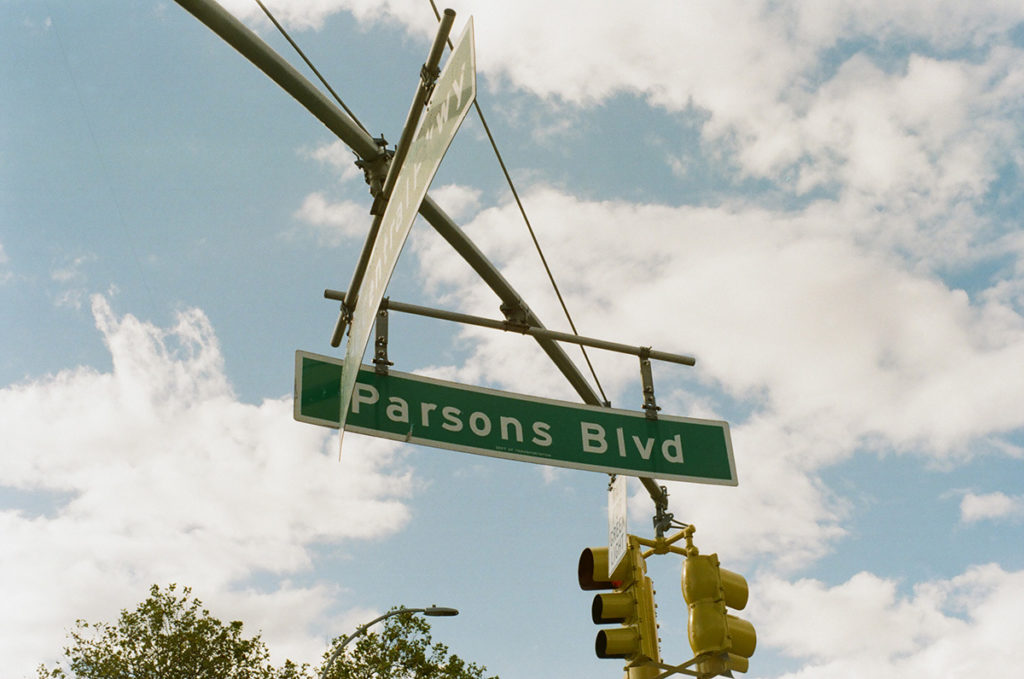
Parsons Boulevard was named for Samuel Bowne Parsons Sr., noted nineteenth century horticulturalist who ran a nursery within Kissena Park in Flushing. Part of this road linked together Jamaica and Flushing in the colonial era.
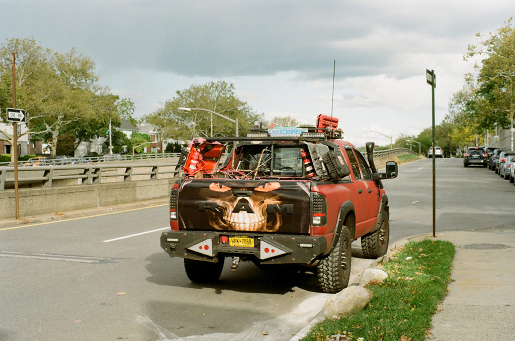
I was a little worried someone would run out of their house and shoot me for taking a picture of this car.
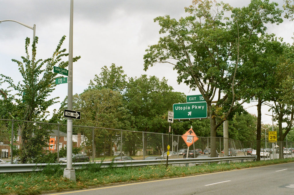
Utopia Parkway, named for the Utopia Land Company, which tried and failed to build a cooperative community for Jewish immigrants to get out of the crowded Lower East Side in Manhattan. Also known as the home of Joseph Cornell.
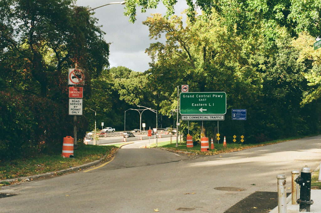
As you get further out there are fewer barriers to keep pedestrians out of the highways, presumably because there are fewer pedestrians out here. Here the barriers really just consist of some trees. This is close to where the sidewalks disappear completely.
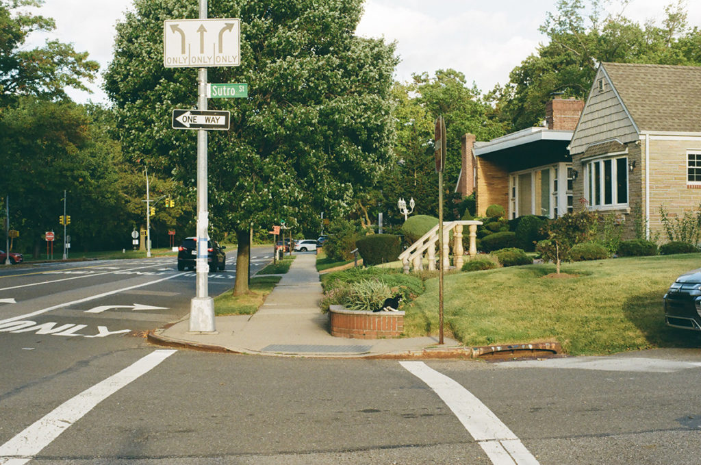
Still a few sidewalks here. Find the cat in this photo.
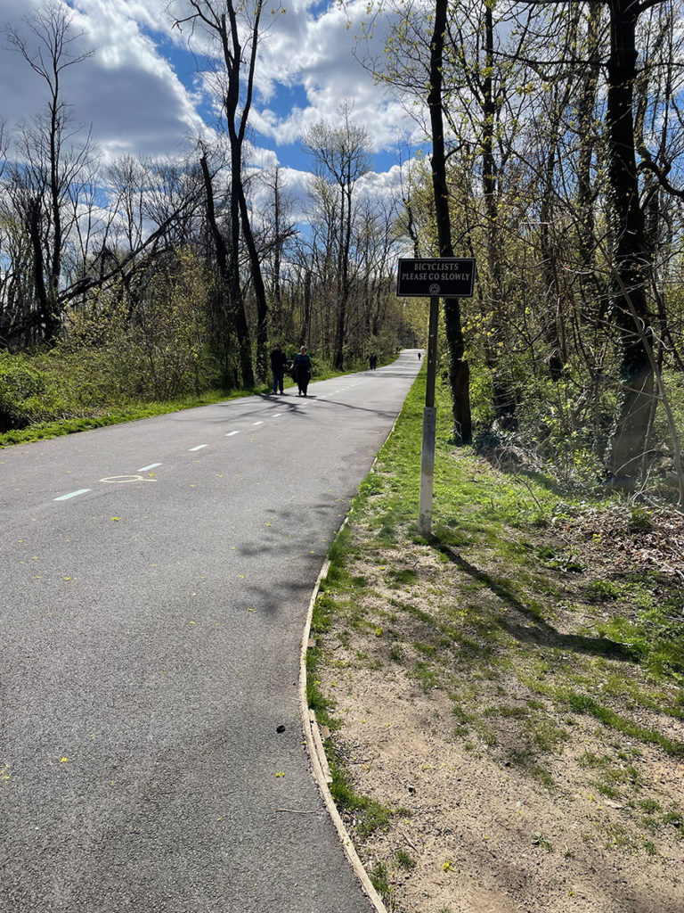
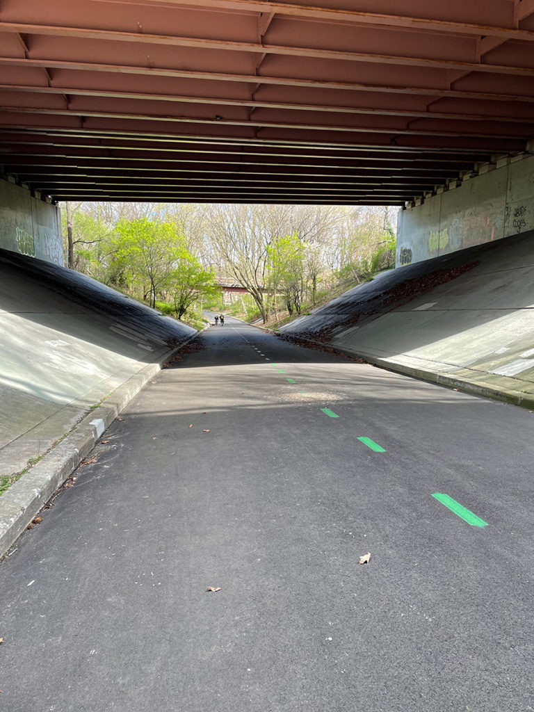
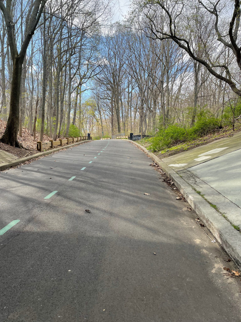
What I was really excited to explore, and specifically explore by bike, was this, the Vanderbilt Motor Parkway, once the expensive private highway built by William Kissam Vanderbilt II, so that he and his wealthy friends could race their brand spanking new motor cars out to their mansions on the North Shore of Long Island. It opened in 1908 and was the first roadway built just for cars in the US. A section of it still stands and is now a greenway that runs between Cunningham Park and Alley Pond Park here in Eastern Queens.
It’s so much fun to ride! Parts of it travel on overpasses over local streets, parts pass by the backside of residential houses. It’s super quiet and lovely. As more people had access to cars over time, and as Robert Moses starting building public highways open to everyone, this road became obsolete. The neighborhoods this path travels through are unfriendly to pedestrians, and also cyclists, as they are pretty much completely built around cars, so to have this route available is a real joy. And I ended up close to my final destination:
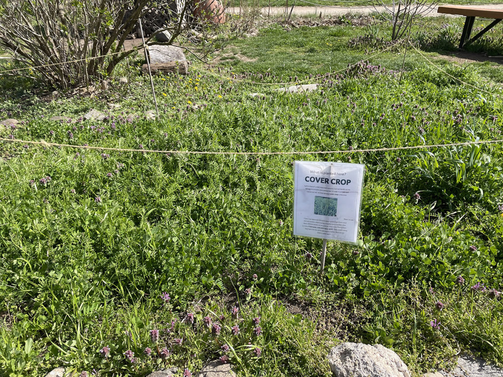
The Queens County Farm, the largest remaining tract of farmland in NYC. It is one of the oldest continuously farmed pieces of land in NY State, and it exists now as a teaching facility, holding events and providing learning opportunities on farming, biodiversity, urban agriculture and local history.
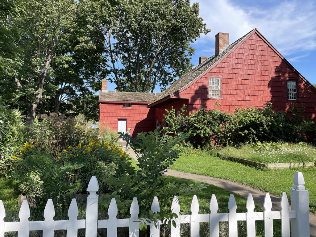
Late seventeenth century Dutch colonists, having stolen this particular bit of land, built this farmhouse in 1772 and worked the land as a family farm for hundreds of years. Eventually the farm was sold to German immigrants who turned it into a “truck farm”, a farm that raised food to be sold in Manhattan.
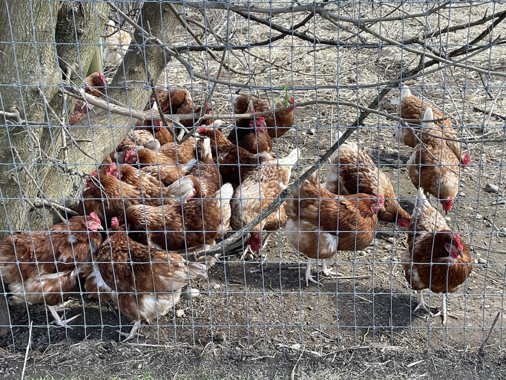
Today the farm raises chickens, sheep, goats, and apalca in addition to growing vegetables. I have much more to say about this farm and farming in general in the city, so this was my stopping place. The next pamphlet will be all about urban agriculture and more here will come soon.

