urban planning

Category : Uncategorized

My plan for this year was pretty straightforward.

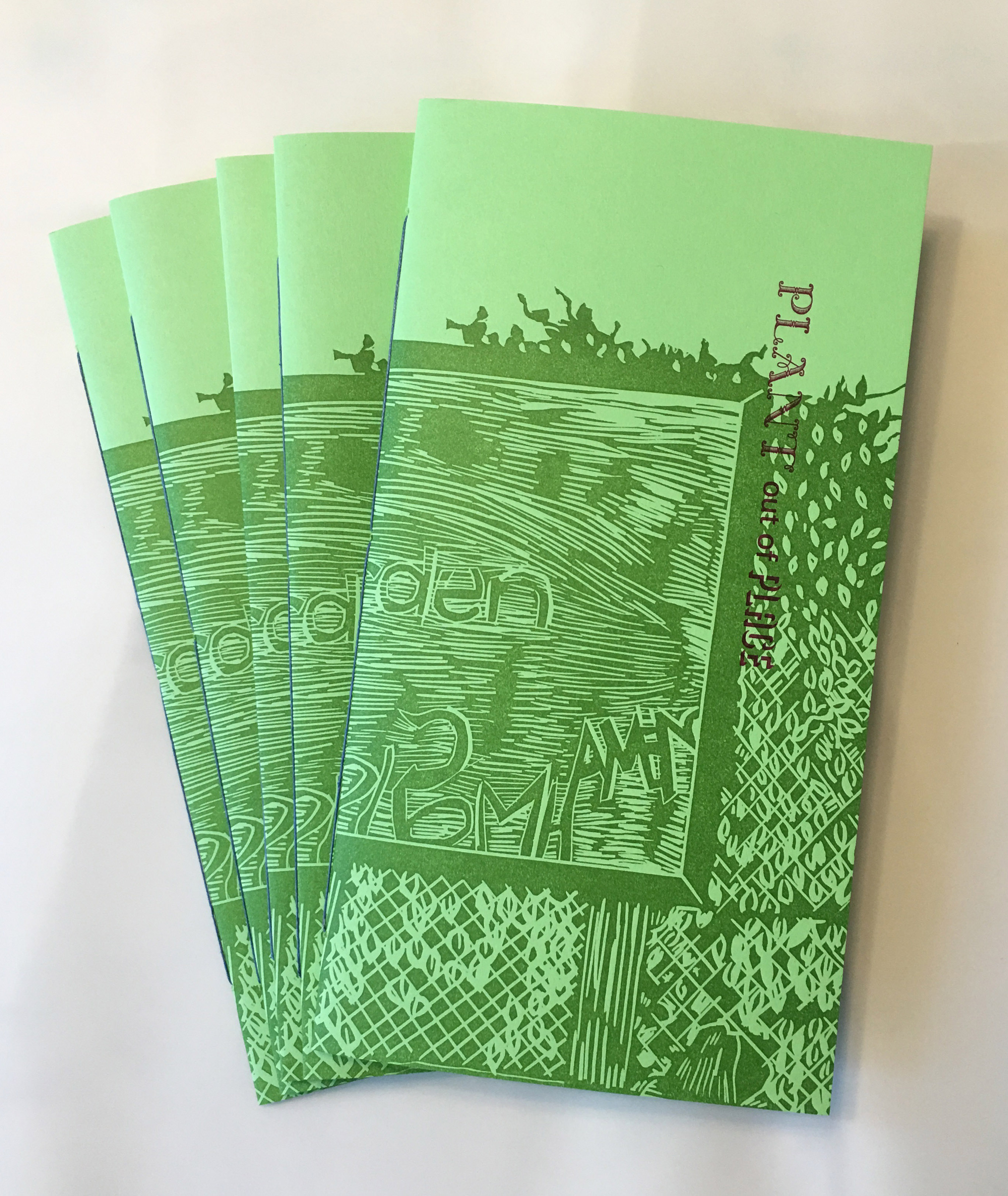
I was going to make three pamphlets, all three having something to do with maps.

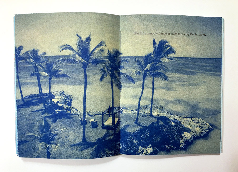
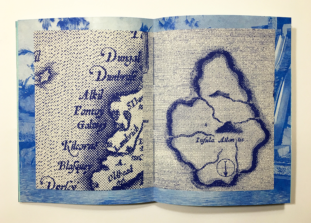
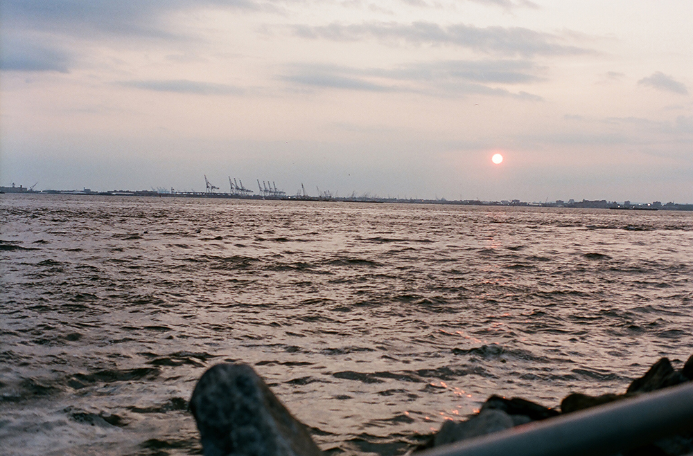
These maps would be of the Brooklyn waterfront, present, past and future. I had made some large scale maps last summer, in a residency on Governor’s Island through Works on Water.

I wanted to use the idea of storytelling through mapmaking to talk about the different layers in these maps. I also wanted to continue making these maps, finish the coastline, complete the circle.

I was going to walk along the waterfront with friends, and have events that brought readers to the places I wanted to write about.

I was going to have my act together and send out the spring issue in spring, the summer in summer, etc.

I mean, some good ideas, right? But we all know what happens with well-laid plans. The collapse of society-as-we-knew-it got in the way of getting things out on a schedule, of access to studios, of gathering together in a landscape.

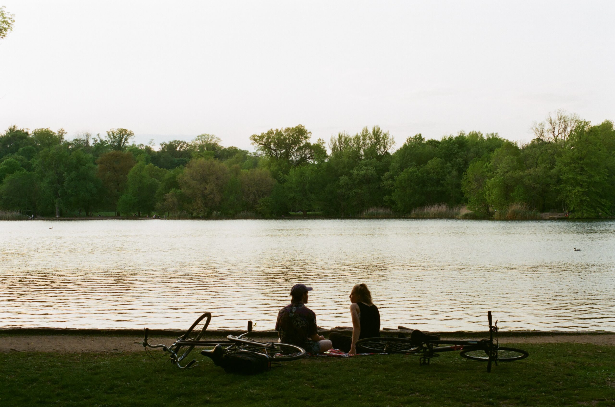
But other things happened as well: people discovered a new love for the post office, of all things. People walked outside, and discovered parks and green spaces near them. People walked and biked and realized that roads could be used for something other than storing private cars and driving.

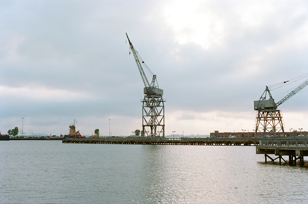
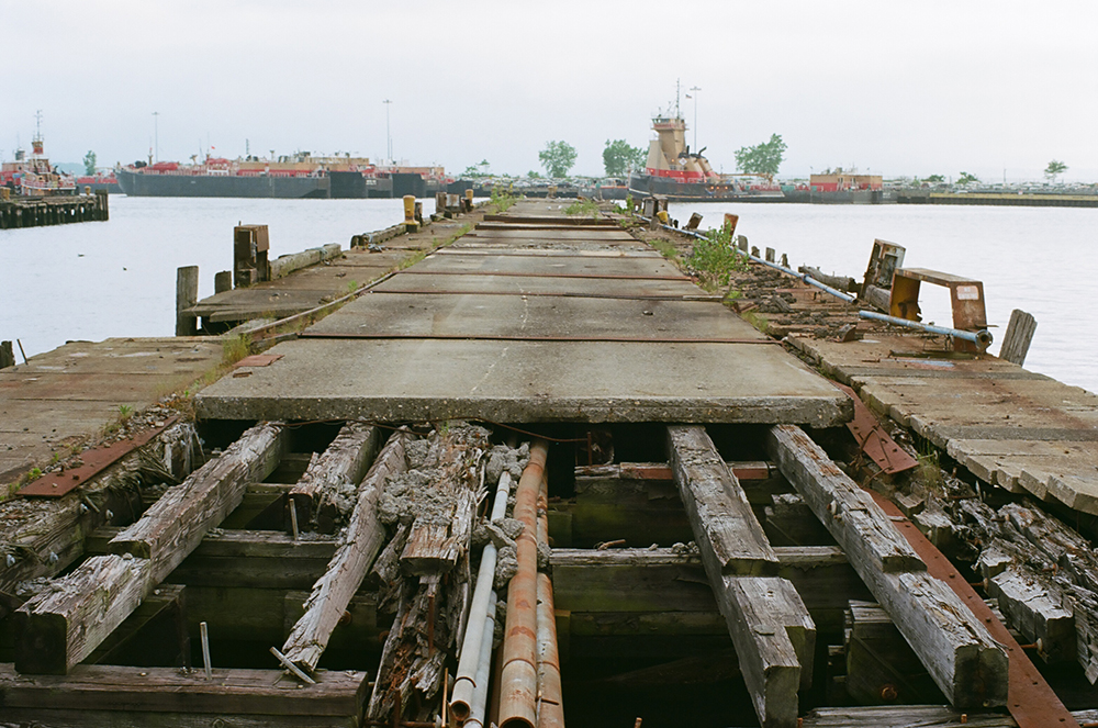
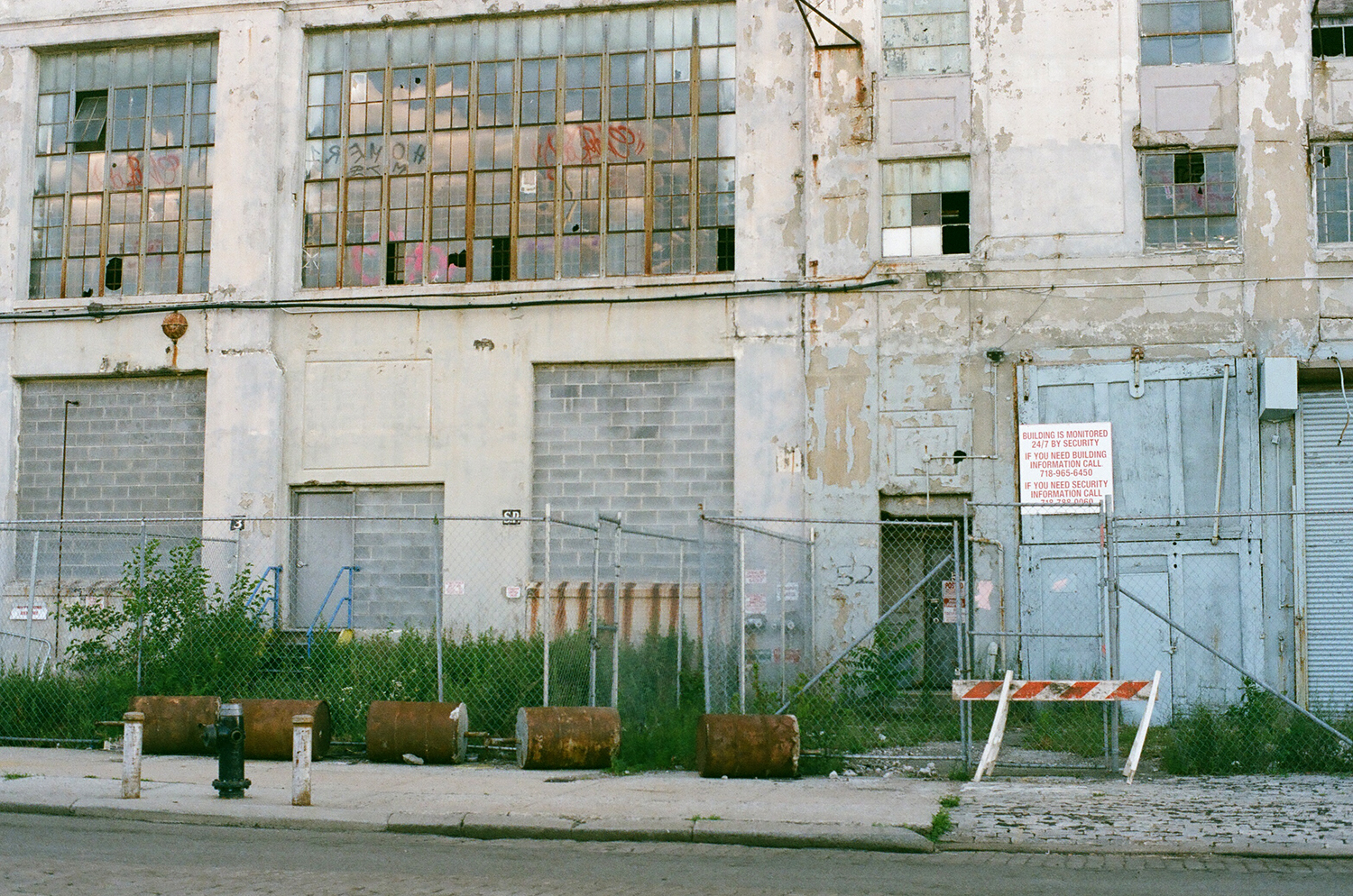
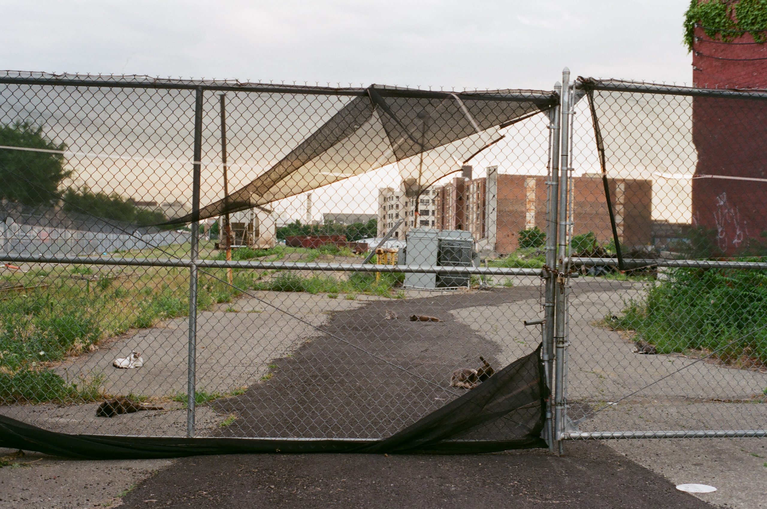
The city I had been living in was being replaced by a new version and parts of that process have been horrifying and parts are beautiful.

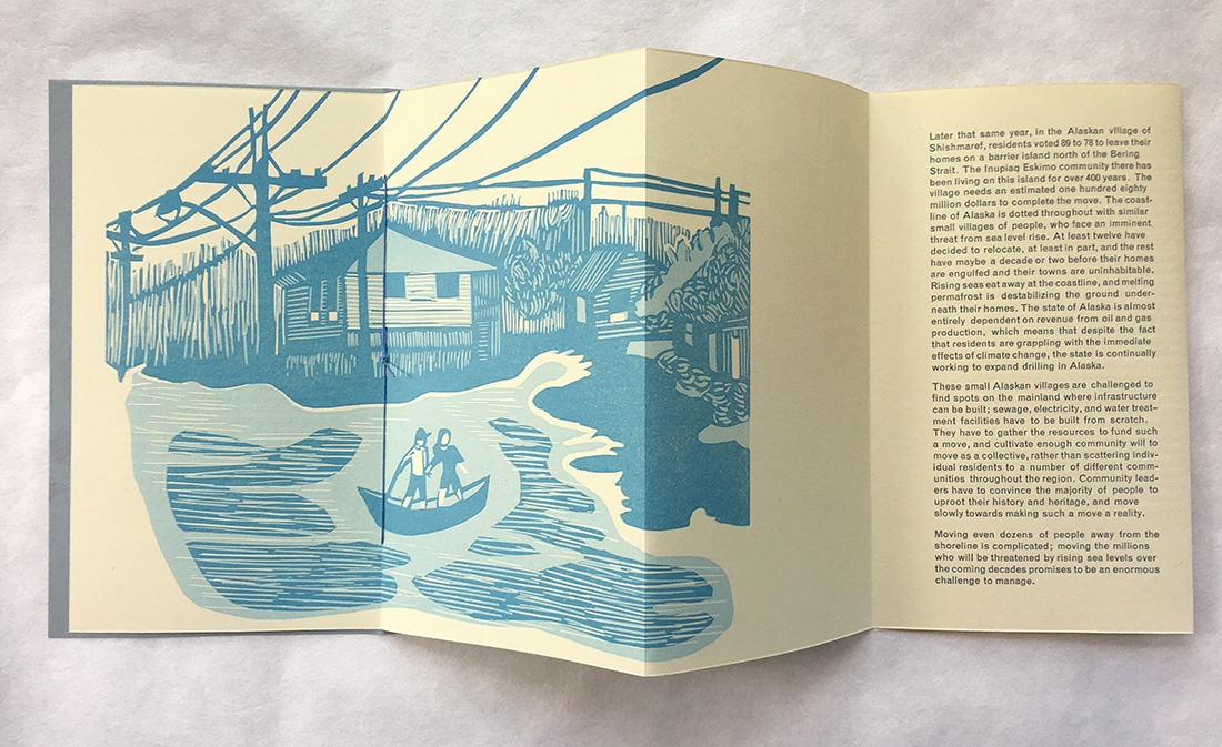
This spring I made my first virtual walk, a video that accompanies the “spring” 2020 informational pamphlet, The Morse Dry Dock Dial, with a map for those who would like to follow along. I realized that a video of a walk could bring more people into the landscapes I was interested in than a live event could, and that the readers who live elsewhere were able to participate in this version of the walk. I got excited.

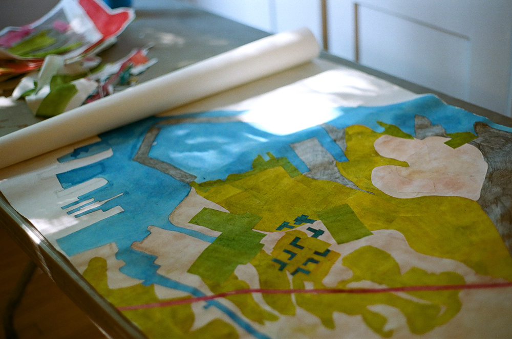
This fall I am in residence at BRIC, and I started off working on the map of Sunset Park, the neighborhood I walked through in the spring, the neighborhood my mother’s family is from.

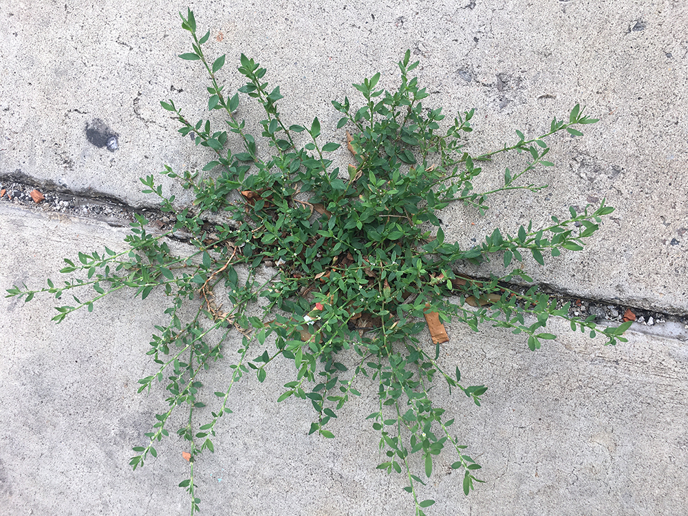
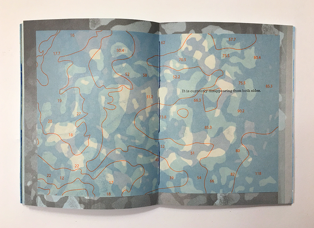
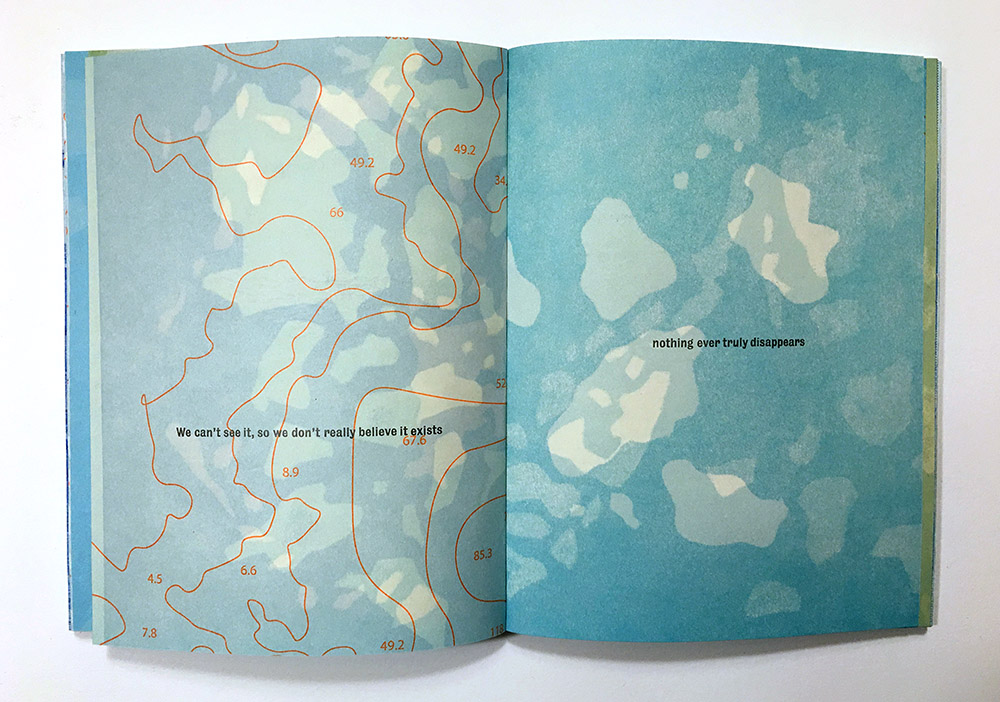
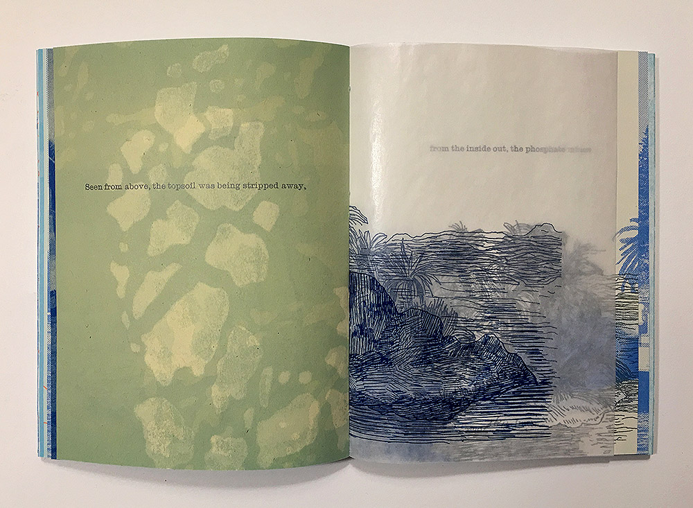
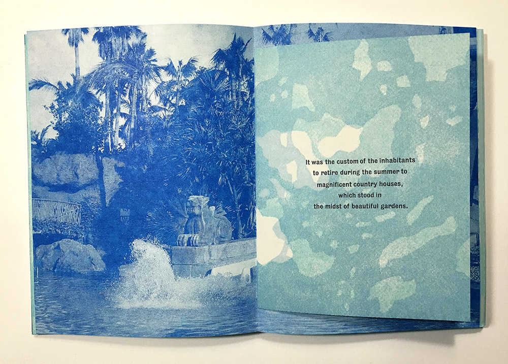
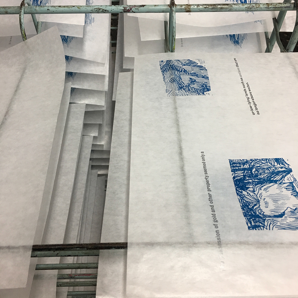
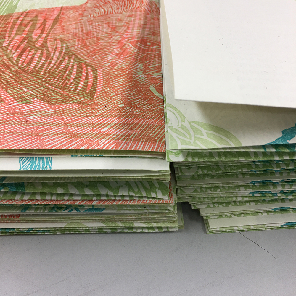
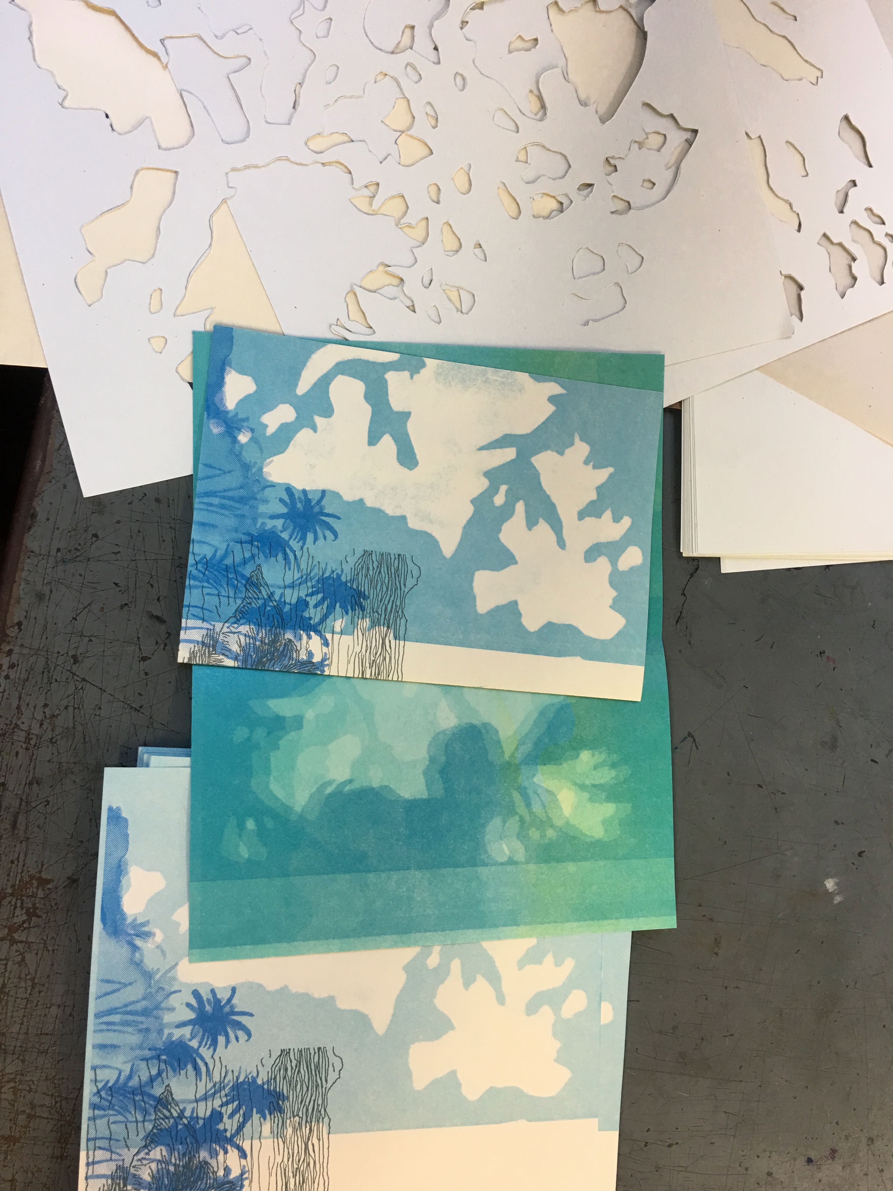
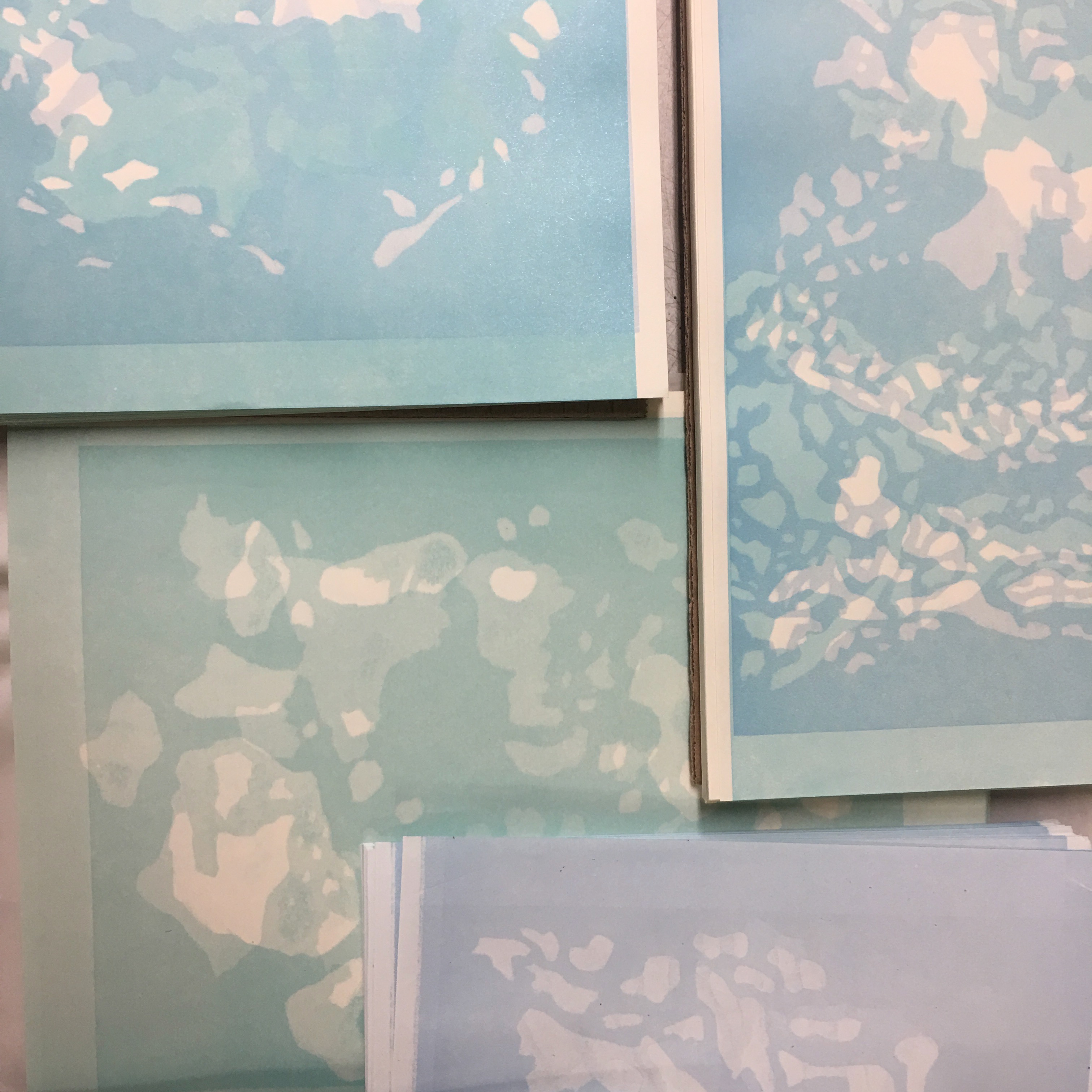
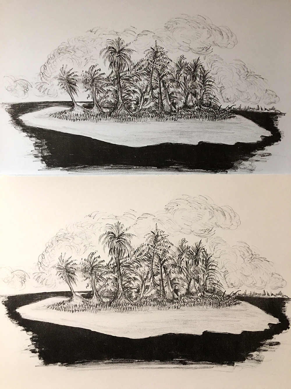
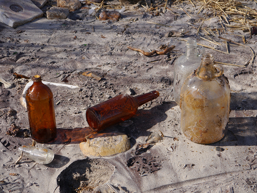
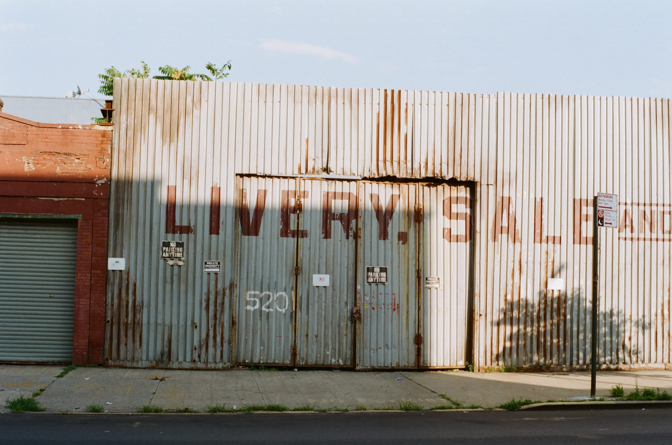
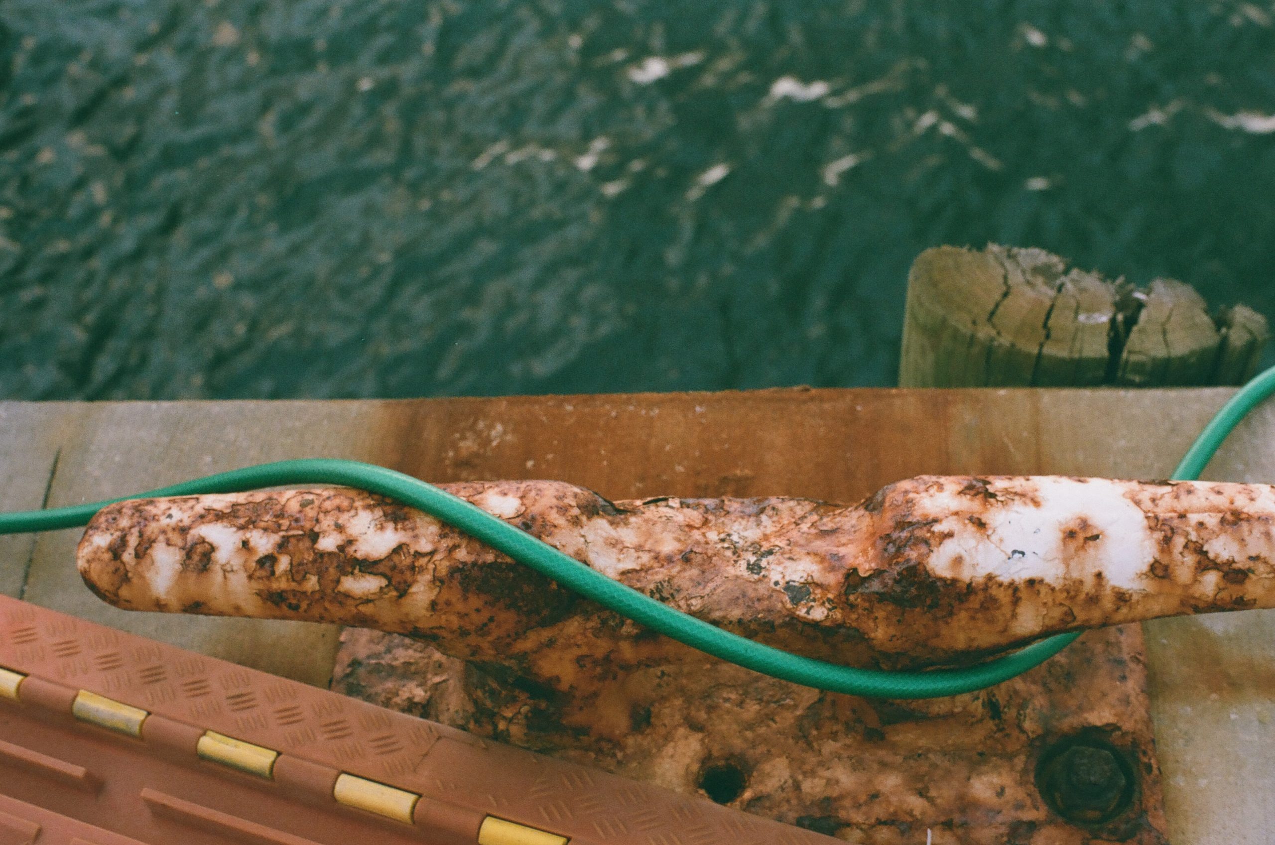
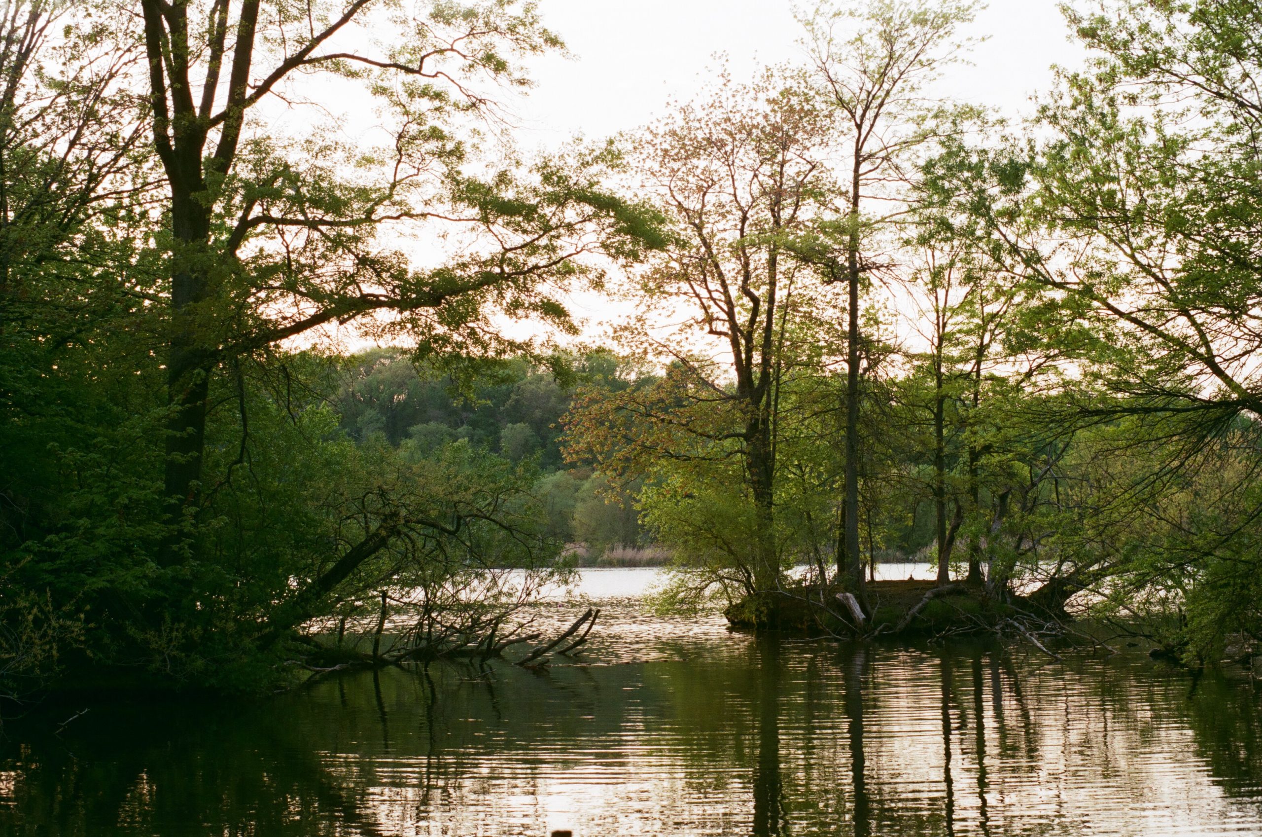
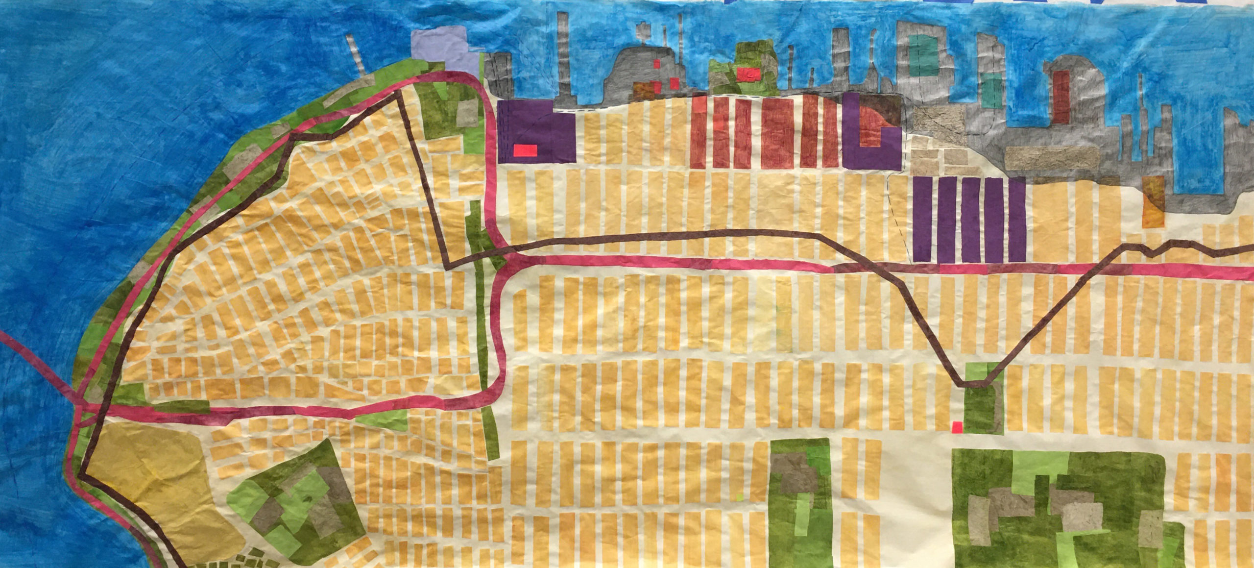
These maps are bigger than I usually work, and try to show the past coastline, the future flood zones, the industrially polluted brownfields, the historical markers, the green spaces, the rezoned neighborhoods, the Moses-era highways, and the native pathways that make up the coastline. They are made up of paper, some machine-made, some handmade, from fiber that relates to the coastline, either by history (cotton, imported into Brooklyn warehouses from southern plantations; flax and hemp, grown by colonists) or by ecology (urban plants harvested from the landscape, processed into pulp). Did I mention I was going to learn how to make paper this year? I learned how to make paper this year, in a much more DIY way than originally planned. No studio access, no in-person classes, but I’ve made some paper.

Here is a picture of the Sunset Park Map:

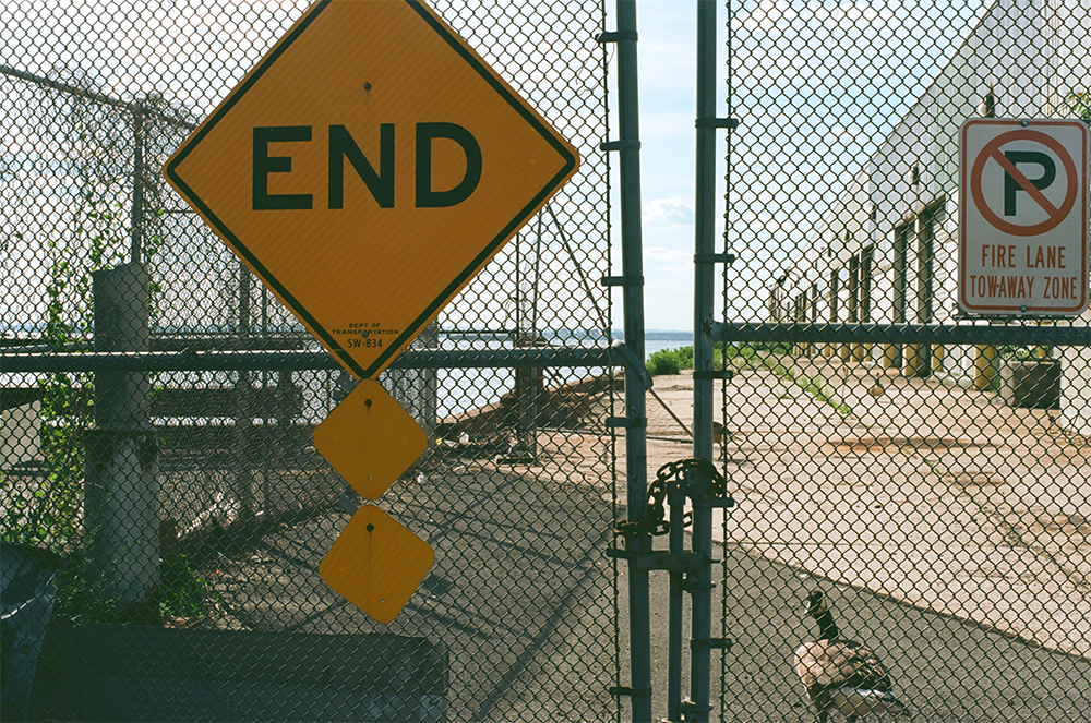
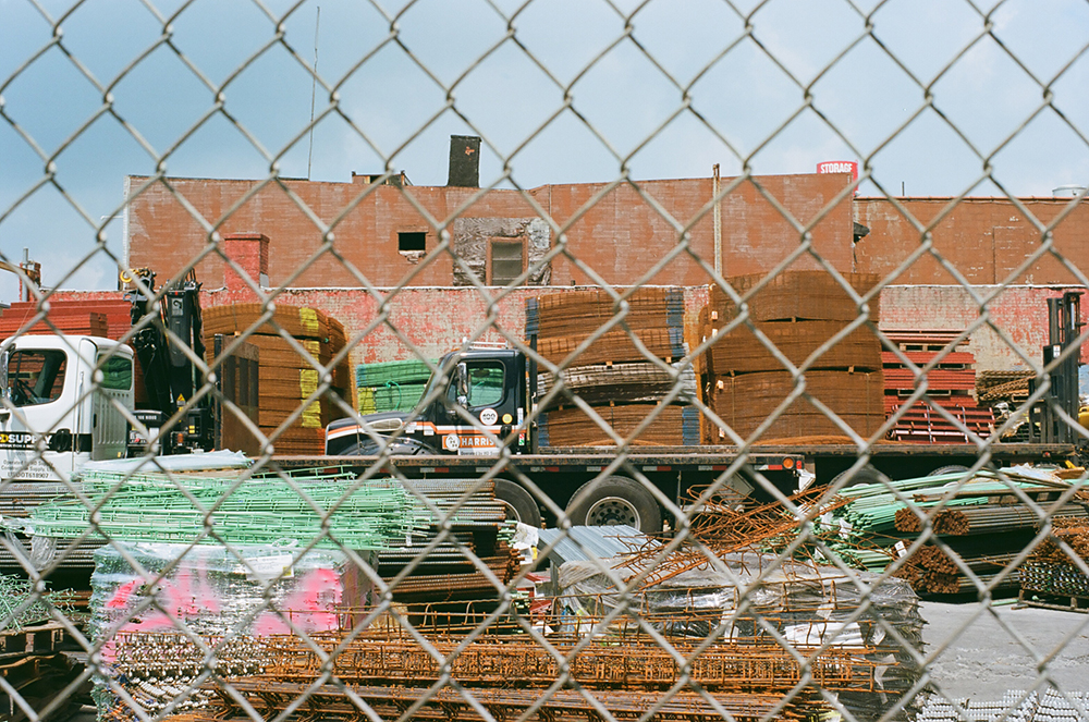
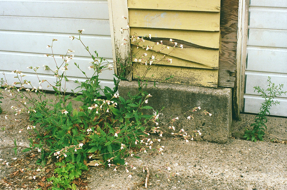
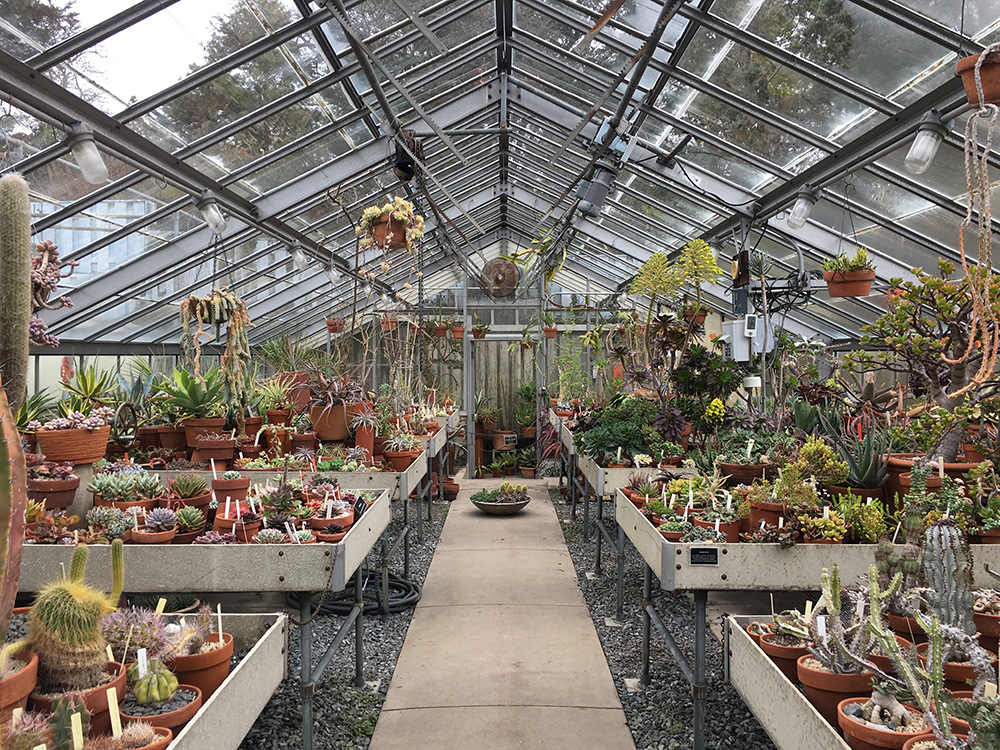
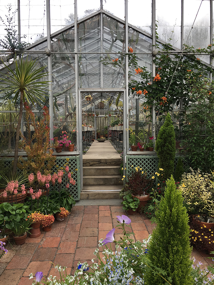
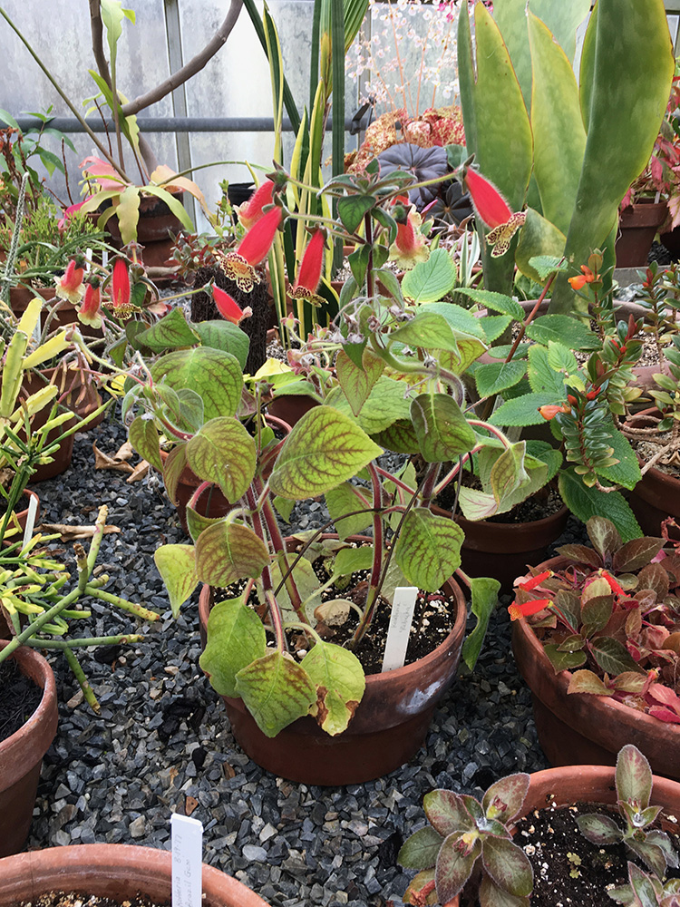
Here is a picture of the Sunset Park Landscape:

Here’s a link to the first virtual walk:

More soon.


Plants, sweat, bikes, blah, blah, blah

Category : Uncategorized
  1. I made another pamphlet. It’s about weeds and people and how both travel around the world together. That’s going to be the basic idea for all the pamphlets this year, in different ways. This first one is about Red Hook.

2. I took some people on a walk in the place the pamphlet was about. We had a perfect day and spotted tons of different species of weeds, and everyone listened patiently as I told them all about landfill and housing and nineteenth century industry. Thank you for coming along!

3. I am learning how to identify the plants that grow between the sidewalk cracks. Right now the weeds here in NYC are BONKERS. My favorite local news source has done multiple stories about spontaneous outcroppings of poison ivy near public thoroughfares. My personal favorite batch of weeds right now is by the Greenway in Red Hook; it’s mostly taken over one of the lanes and gives shelter from the July sun to the assorted cats, pigeons, and people that live there.

4. My plan to spend the summer biking and taking pictures is going swimmingly.

5. I was a resident on Governor’s Island for a month in June in one of the houses in Nolan Park, hosted by the artist collaborative Works on Water and the publishing platform Underwater NY, two organizations that both focus on art based on and with and around water (thanks guys it was great!) Governor’s Island is one of my favorite places to be and see and it was a fabulous time. I worked on maps of the past, present, and possible future Brooklyn coastline. I will maybe make a separate post about them? I think I will continue on in this vein for while, as it stirred up some ideas.

The starting point was to think about a map made in the nineteenth century by Thoreau of the Concord River, and use the map form as a way of mapping historical sites, personal landmarks, and the physical landscape all at once. It grew a bit from there.

My laptop is making my lap sweat so I think I will end this here. Stay cool in whatever way suits you.


Pacific Islands

Category : art, book
Pacific Islands

As you read through Solastalgia, the narrative moves from idealistic projections onto islands, into the stories of particular, real islands, focused particularly on islands in the South Pacific, specifically Nauru and the Marshall Islands.

Nauru is a tiny bit of land, settled by Micronesians and Polynesians 3,000 years ago. It was once called Pleasant Island by the Europeans when their whaling ships stumbled onto it. Nauru was annexed by the Germans in the 19th century, who controlled it until after World War I, when it came under the control of Australia, New Zealand, and the United Kingdom. It became a fully independent nation in 1968.

Nauru is rich in phosphate, a natural fertilizer, which was strip-mined on the island throughout the twentieth century. Visitors to the island found as they approached from the sea, an idyllic line of palm trees lining a white sandy beach. In traveling to the interior of the island however, they found that the land had been stripped down to its coral bones. The center of the island was rendered uninhabitable and largely infertile, and most residents and businesses lived and worked on the coast. The phosphate was mined and shipped away by European companies to fertilize other peoples lands, and the money that the resource generated was badly invested, leaving the country short of options once the mining reserves began to be tapped out in the latter half of the century.

To earn income, Nauru briefly became a tax haven for those wanting to avoid paying taxes, and an illegal money laundering center for Russian gangsters. Eventually Nauru signed on to house refugees and migrants for the Australian government, who built an infamous prison camp on the island, referred to as “the Pacific Solution”. Briefly closed in 2008, it reopened in 2012 and continued to house asylum seekers and refugees from Iraq, Syria, Sudan, and Afghanistan, among others, who attempted to sail to Australia and were detained in squalid conditions. After numerous reports of human rights violations, riots, and hunger strikes, the camp housed 10 asylum seekers at the end of 2018, down from a high total of 1233. Nauruans have protested the closing of the camp, as the loss of the deal with Australia will represent a loss of a valuable source of income for a nation in desperate need of cash. The climate refugees of the future have been recruited to play warden for the political refugees of the present.

Nearby in the Marshall lslands, a large chain of volcanic islands with some of the lowest elevations in the south Pacific, the younger generation is preparing to leave their home.

The older generation on the islands have lived through the atomic bomb tests of the twentieth century. During the Cold War, the United States military detonated 67 nuclear bombs on or close to the nearby Bikini Atoll and Enewetak Atoll. Tests were carried out here because American scientists judged that the islanders were “more like us than mice” and could therefore give them more useful data on the effects of fallout on a human population. Because of this complicated history, Marshall Islanders can live and work in the US and communities have grown in states like Arkansas and Oregon, in anticipation of a drowned future. Saltwater inundation is already beginning to kill plants and trees on the islands. The political leadership on the islands have lead the fight in international arenas on climate debt, the attempt to balance the scales by getting developed nations to compensate poorer ones who feel the effects of climate change first and more severely, while having fewer resources to adapt to new realities.

But the question remains for nations like the Marshall Islands and Nauru: how will they maintain a national identity once they are forced to leave their homes? Is it possible to maintain their sovereignty once their populations are in exile?


Atlantis

Category : art, book, inspiration

The first section of my new book is about the role that islands play in our collective imagination. One of the reasons I wanted to make a book about disappearing islands is the disconnect between the images we create and consume of islands, and the actual lives lived on islands. Our understanding of islands and of islanders is partly informed by all of the stories told about islands, most of which are examples of projected desire.

Atlantis is the classic disappearing island myth, and the descriptions of it demonstrate this. Plato was the originator of the Atlantis myth, writing about the fictional island within a larger allegory of nations, where it plays antagonist to Plato’s ideal state of Athens. He describes the people of Atlantis like so in his dialogue Critias:

They despised everything but virtue, caring little for their present state of life, and thinking lightly of the possession of gold and other property, which seemed only a burden to them; neither were they intoxicated by luxury; nor did wealth deprive them of their self-control; but they were sober, and saw clearly that all these goods are increased by virtue and friendship with one another, whereas by too great regard and respect for them, they are lost and friendship with them.

In the end, Athens defeats Atlantis, the gods turn on the island, and it sinks into the Atlantic. But our impression of the place remains that of a lost paradise.

Beginning in the sixteenth century, scholars in Europe began to associate the myth of Atlantis with the New World, and writers begin to embellish on the story of Atlantis in far-fetched works of pseudo-history. The story of Atlantis became part of the popular imagination again because it fit into larger utopian and/or apocalyptic allegories about societies that scholars were interested in. But it was often presented as literally true, and there were competing theories for where Atlantis had actually been located. For Europeans, large areas of the world that no one had suspected were there had suddenly emerged, and if that were true, there may very well be a large lost island somewhere under the Atlantic.

Atlantis: The Antediluvian World is a book published in 1882 by Ignatius L. Donnelly, an American congressman, writer, and amateur scientist. In it, he argues that the fable Plato had spun was literally true and that Atlantis was destroyed during the same event that Noah experiences in the Great Flood of the Old Testament. In fact, all ancient civilizations were descended from this one lost island. The ideas that Donnelly explores in his book are the source of many of the funny ideas we have in our heads when we think about Atlantis today: a place full of advanced-for-its-time technology, the mythical lost birthplace of all civilizations, a place sacrificed in a struggle between good and evil. Atlantis is the stand-in for all lost utopias.

And islands in general are often conceptualized as utopias; the ideal place off the coast of nowhere. Utopia literally means nowhere; the word comes from the Greek “ou” meaning not and topos, meaning place. Not-places are made to be dreamt about from a distance, as in Thomas More’s book Utopia, about a fictional island society and its social customs. And More’s Utopia, like most European stories about islands, is an island in the New World, a place he can describe but not be a part of.

In practice, Europe colonized the islands of the New World, which means that island utopias are meant to be idealized, then conquered, then exploited, until they are no longer utopias. Colonialism and stories about island utopias go hand in hand.


Solastalgia

Category : art, book, inspiration, time

I finished printing a new book last month and am deep in the binding process. I thought I would write a few posts about the book and my research into disappearing islands.

Solastalgia is a word I came across in connection to climate change. It was originally coined by Australian environmental philosopher Glenn Albrecht to refer to the mental or existential distress caused by environmental change, originally in relation to places being decimated by the mining industry. The word is a portmanteau of solace and nostalgia, and is meant to reflect the anxiety produced when your sense of place is being violated, the sense that you’re losing your home while you are still at home.

I wanted this book to encompass a few different things, and one of them was the sense of loss experienced while the world changes around you. Climate change is both slow-moving, in terms of the timescale of politics, and fast, in terms of the pace of landscapes and how they shift and degrade. One of my goals was to talk about groups of people experiencing the immediate effects of climate change right now, in the present, and the willful denial of their experience by people in positions of power. I also wanted to make tangible visual art out of a process that is often described as invisible (though I don’t think it is.) Similarly, tiny islands described as “the middle of nowhere” are often invisible, inaccessible, distant places we project fantasies onto; I wanted to make a book about what it is like to live there, and be a person from “the middle of nowhere”, because nowhere is somewhere for some people, many of whom are in the midst of being displaced now.

The word nostalgia is a trigger for me; I think as a letterpress printer it gets thrown around a lot, as an assumption that anything made using obsolete technology is by definition nostalgic. I think that I disagree with that. There are certainly lots of examples of fuzzy-headed sentimental letterpress work around, I can’t argue with that. But I think it’s possible to use a technique and visual language based in history as a way to tell a story that is rooted in history. And I think that history done well is the opposite of nostalgia. History in this book takes the forms of an account of the colonization and exploitation of Nauru, a tiny island in Micronesia, and the nuclear test bombing of the Marshall Islands. Sea level rise for islanders is only the most recent change in a series of events in their landscape.

The sentimental aspect of nostalgia shows up in the first part of the book, an extended speculation on the various kinds of utopian fantasies people have about islands. Islands are where we go to transform ourselves, where we are free from the troubles of our everyday lives, where the idealized fantasy out there lives. I structured the book as a progression from fantasy to reality.

To be continued. There’s a great article here on solastalgia, if you’re interested.


End of year marathon

Category : time

My favorite time of year is usually the two weeks at the end of December, when the city empties out of residents and fills up with tourists, and most people left don’t have anything particularly pressing to do. I always get a lot of distraction-free studio work done, which is true again this year, and I also get a lot of everything else done that I don’t have time for the rest of the year- like cleaning my stove or baking or reading. I usually try to visit a museum, which is always a bad idea (see: tourists); this year I was smart enough to not try, though I have plans for January in this arena.

This year flew by in a blur, and I’m not sure what to say about it; I made some new things, that I think I like, though since they are new I’m still not sure. I didn’t really travel, and I wish I had done so. I started using my film camera again, and love it. I went to the beach and went on lots of bike rides.

I taught a lot of students, who I hope learned something in the process.

I am making this book:

It’s all about disappearing islands.

And I made this pamphlet:

And I thought about what kinds of books I’d like to make next, and where and how.

I’m not sure what I think about year end review/ new years goal type things. I think there’s something both arbitrary and useful about reflection on what you’ve done and what you’d like to do, but for the most part what I’ve done and what I’d like to do for many years now have been small variations on the same thing, over and over again: learn something new, make something new, enjoy what I can do, try something I can’t. Get enough sleep, and spend time with people who enjoy my company. Repeat.

I am happy with this kind of life, and I expect to continue to be happy with this in the future, even while other things happen in my life and in the world at large that I cannot control. This means I’m lucky, and I’m glad for that.

Happy new year.


The Liquid Fault Line

Category : book, pamphlets

It’s been quiet around here which means a lot of working has happened.

The summer informational pamphlet for 2018 is complete and is on its way to subscribers, friends, friends of friends, and acquaintances. The Liquid Fault Line addresses strategic retreat from the shoreline in an age of rising sea levels.

What are the costs? What if you don’t want to leave your home and community?

What are the various adaptation strategies and who benefits? What will happen if we don’t plan ahead?


Individual copies can be found here.

In related news, I’m also working on a new full-length artist book, title TBD, hopefully to be completed  in time for the next CODEX fair, in February of 2019. Here’s some in-progress photos:

It’s all about disappearing islands, both real and imagined. I’m hoping to have all the images and backgrounds printed before school starts up in the fall, with the text to be printed in Sept/October.

That leaves November for fall pamphleteering activities, December for mailing and binding and assorted catching up. Reasonable? Perhaps.

I think I’m excited about it for now, and have tried to structure the book so I won’t get too sick of it along the way. There’s enough improvisation in it to keep me interested; I don’t like projects which require all of the planning to happen in advance, I get bored in the middle of production when that happens.

Wish me luck.


Summer vacation is here

Summer vacation is here

Which is apparently going to involve a lot of type setting, what a surprise.

And bicycling to parks

and the taking of pictures.

I am almost done with the summer pamphlet- early this year! And will be slinging it next weekend (June 2 & 3) at the Philadelphia Art Book Fair.

And I’m planning on spending the rest of the summer printing a book. A real one!

Hope you’ve had a lovely holiday weekend.


New (and Old) Skillz

Category : inspiration

They say learning new skills keeps you young. Does relearning old skills count?

I started riding a bike again last summer, after many years. I have the same bike I did in my twenties, when I rode it everywhere as my main form of transportation. It’s been patiently waiting for me to get back to it.

At first I was super shaky. I’ve always been afraid of cars; that’s one of the reasons I never learned how to drive. But I still could remember how it felt to be able ride in traffic without being afraid, and I knew I wanted to be able to do that again. It really bothered me to have lost the knack; it felt like my world had become smaller than I wanted it to be.


Now it has been opened up again. And I’m much less shaky. Still a bit of a nincompoop, I get nervous descending off of bridges, but the view in the middle makes it worthwhile.

In new-new-skills news: I took a lithography class this winter. That was new, and I plan to continue. I still think that litho is magic, or maybe alchemy, but I feel a little less confused by the various steps and processes involved.

And I have a new book in the works, partly done in riso. That’s new. I’m going to hot stamp something shiny on the cover when it’s ready, because that’s something I know how to do now, too.


The Acclimatization Society

The Acclimatization Society

I made an edition of pamphlets for Wave Hill last month.

The Acclimatization Society is about birds in the city, and how they adapt, and how some birds have evolved in response to the city environment. Evolution doesn’t just happen in pristine jungle ecosystems; the urban pollution that makes cities a harsh environment for animals is known for causing genetic mutations. Birds in cities have to adapt fast to their circumstances. Genetic mutations plus adaptations equals speciation in action.

Also included is information about some of the most common bird species in New York today.

This work and Flyway are on view at Wave Hill, which you should go visit as soon as you have an appropriate spring day at your disposal. It’s a beautiful place. The magnolias are getting ready to bloom soon and there’s lots of blue flowers out right now.

Avifauna: Birds + Habitat is on view through June 24. Info is here.

A bonus: I got to see one of my favorite greenhouses around when I came to drop off the work.

Don’t even think about stealing their plants.

In other news: I caught the first whiff of spring out in Jamaica Bay a couple of weeks ago with my friend Ana.

And there’s more printing on the horizon- I’m thinking about strategic retreat this year. More soon.


Brain Washing from Phone Towers Informational Exhibition

Brain Washing from Phone Towers Informational Exhibition

Now that the final pamphlet of 2017 is in the mail and out to subscribers, I am happy to announce that in January I will have the opportunity to show the work I made in the past year about Jamaica Bay, in the place that inspired it all.

Some of the things that I did last year:  made pamphlets, rode bikes, gone on walks, looked at birds, brought some friends to visit an old landfill, seen antique aircraft, tried out lithography, and told as many people as I could about it all.

I had a great time exploring the area.

Join me on Saturday, January 27 for the opening reception of Brain Washing from Phone Towers at the Jamaica Bay Wildlife Refuge. This exhibit celebrates the completion during 2017 of the series of three pamphlets on the history, ecology, and communities of Jamaica Bay, and documents the methods used in creating pamphlets by hand. There’s a gallery inside the visitors center in the Wildlife Refuge, and I think it’s the perfect place to celebrate the completion of the series; I hope you can join me.

Event information is here. 
The Jamaica Bay Pamphleteering Project was sponsored, in part, by the Greater New York Arts Development Fund of the New York City Department of Cultural Affairs, administered by the Brooklyn Arts Council. as well as the Puffin Foundation.


(Gesticulating wildly)

Thanks to all who came to the artist talk last Saturday night at Shoestring Press- I had a wonderful time and I hope you did too! Here’s some photos taken by the lovely Ana Cordeiro:


(Gesticulating Wildly)

I love the idea of gathering people in person to talk about things I’m fascinated by and make pamphlets about. I hope to do more of this in the future, thanks to everyone for coming, it was lovely to see you all!


@